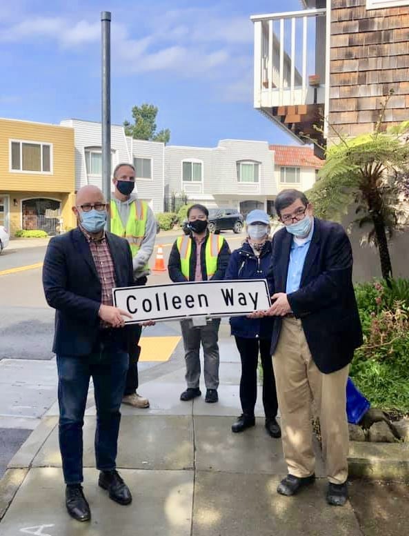
When the planners designed Diamond Heights back in the 1950s and 1960s, they went for a suburban feel, with winding, curvilinear streets and plenty of parking. They also included stairways to connect hill dwellers with shopping and parks. The stairways received names. Some, like the streets they connected, were named after semiprecious stones. Others, in the time-honored San Francisco tradition, received women’s names. But only a few received street signs. Some of the names appeared only on maps.
Until now.
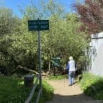
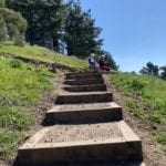
Signs have gone up on Colleen Lane, Onique Lane, Coralino Lane and Opalo Lane. The driving force to place the street signs was Patrick Carroll of the Diamond Heights Community Association, with the able assistance of Supervisor Rafael Mandelman’s office and the SFMTA. Carroll observed that a person could pass right by an unmarked stairway and not even notice it was there. A frequent stairway user, he hopes that bringing greater visibility to the stairways will increase their use and promote walkability in one of San Francisco’s hillier neighborhoods.
To facilitate locating these stairways, Carroll marked them on a map, then connected them into a hike that includes both the named and unnamed stairways. It winds its way in a figure-of-eight pattern that goes in and out of Diamond Heights and Glen Canyon Park. “It’s not for the faint of heart!” notes Carroll.
DIAMOND HEIGHTS/GLEN CANYON STAIRWAY HIKE
Here’s a hike that will get your heart pumping while you admire the Mid-Century Modern architecture of Diamond Heights houses and get goosebumps as you traverse the amazing landscape of Glen Canyon Park.
It’s around a 3-mile hike that could take up to 2 hours, depending on breaks and endurance.
You will start your hike at 540’ elevation and end at 660’. Don’t let the apparent minor change in elevation fool you. In between, you’re going up and down, up and down.
Take water and snacks. There are benches in a few spots along the way where you can catch your breath and think about what you’ll write in your gratitude journal.
At the end, stop by the Chinese takeout spot in the shopping center and reward yourself with a delicious dinner. You’ve earned it!
Here goes:
It is a figure-of-eight shaped walk that may be taken in whole or in parts. The numbers on the map don’t correspond to specific locations. They are meant to give an overall indication of the figure-of-eight pattern, and a guide as you follow the directions below:
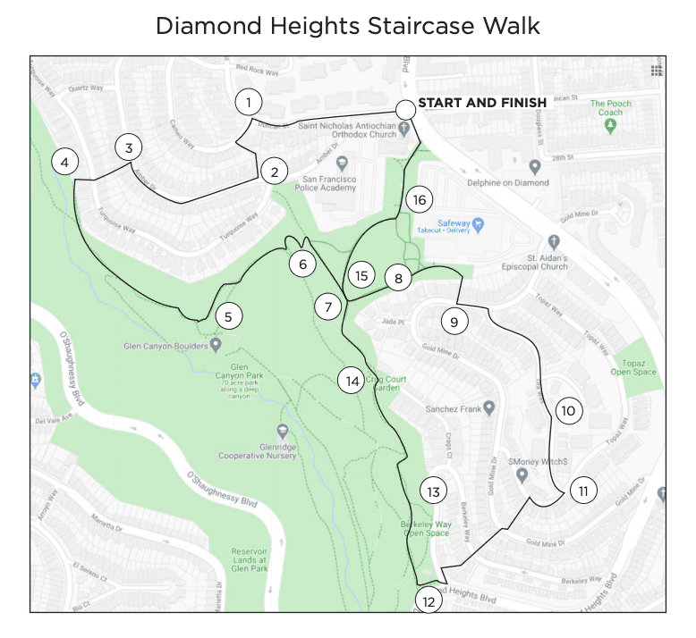
You can download a PDF of the map here.
An outline of the walk in Google Maps can be found here.
Map by Mary Szczepanik
BEGIN at the corner of Duncan and Diamond Heights Blvd. by St. Nicholas Orthodox Church.
Notice Little Red Hen community garden and SFPD training academy on the left.
Take Duncan to Cameo, left on Cameo.
Left on Coralino Lane (unnamed staircase next to 88 Cameo)
Right on Amber (house #289).
Left on the unnamed walkway next to 160 Amber. Go down to Turquoise, cross the street to another unnamed staircase and continue into Glen Canyon Park. Follow markers to Rec Center, then Coyote Crags. Walk along a cliffside trail. At second “T” keep left going uphill.
Continue left and go uphill to another T-intersection. Turn right to Christopher Playground. Keep right and follow the trail that leads behind the wire mesh fence. As you approach the shopping center, you will come to a cross trail.
At this point if you don’t want to continue, you can end the hike; if you’ve driven and parked at the shopping center, you can get some shopping and errands done.
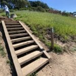
Turn right and go up the stairs. This is Opalo (unmarked, to the right of Bank of America in shopping center).
For a surprise, look left and right of staircase as you ascend.
At the top of the stairs is Goldmine.
Left on Goldmine then right on Ora.
At the top of Ora, stop to admire the view of Mt. Davidson and a glimpse of the ocean. (Elevation 660’).
Continue to Topaz. Right on Topaz for a few houses, then left on Colleen Lane.
Down the stairs to Goldmine. Cross Goldmine, continue down the stairs, which are now called Onique Lane. Continue down to Berkeley Way. Cross street and descend more stairs.
Enter Glen Canyon Park on the trail to the left of the lone house at the end of the street, at Diamond Heights Blvd on the right. Keep right on the trail and continue on the Coyote Crags Trail to return to Christopher Playground. Keep right and follow the trail that leads behind the wire mesh fence. As you approach the shopping center, you will come to a cross trail. Turn left, walk through the shopping center to Diamond Heights Blvd. Construction at the Christopher Playground may cause a detour.
Stop to get a rush watching happy dogs socializing in the field.
Left on Diamond Heights Blvd. to return to your starting point.
Many thanks to the two trailblazer Debbies, Debbie May and Debbie Eller, who were instrumental and good-humored in nailing down the details of this challenging and wonderful hike with the Glen Park News.
Click on each thumbnail to bring up image. Click again to enlarge.

